Jefferson Center Metropolitan District No. 1
Arvada, Colorado
March 2019
1,500 acres
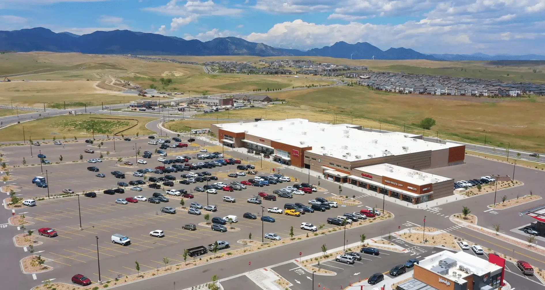
Candelas Point is a nearly 1,500-acre master-planned community in west Arvada, Colorado. It encompasses east of State Highway 93 to Indiana Street and north of Highway 72 to the Rocky Flats National Wildlife Refuge. The Candelas Point master plan includes six residential villages, open spaces, trails and bike paths, recreation centers, and a K-8 school. It also envisions 7.1M sf of commercial space to include shopping, dining, and entertainment.
The Candelas Point development is located in the center of the Candelas area. It borders State Highway 72 to the south and Candelas Parkway to the north and west. The future Candelas Town Center commercial development will be located immediately east of the development. Candelas Point is zoned Business Professional Residential and will be a mixed-use neighborhood business district. The Jefferson Center Metropolitan District No. 1 will work with developers to bring commercial users to Candelas Point.
Galloway worked closely with Jefferson Center Metro District and the City of Arvada on the design of the public infrastructure required for this master plan development, creating four major superblocks with a public roadway, master utility, and drainage network.