-

-

-

-

-

-

-
")
-

-
 Utah Department of Transportation Milford Maintenance FacilityUtah Department of Transportation Milford Maintenance FacilityMilford, Utah

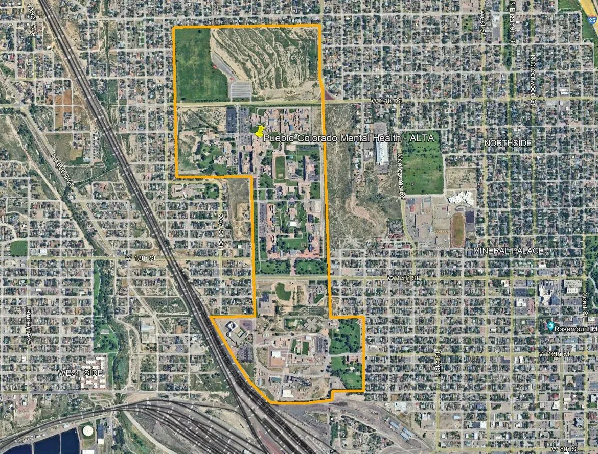
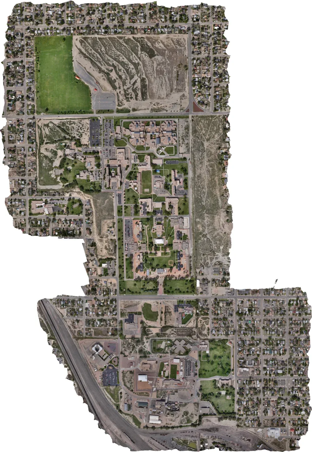
Colorado Department of Human Services
Pueblo, Colorado
October 2024
302 acres
Galloway completed an ALTA/NSPS Land Title Survey of a 302-acre state-run campus in Pueblo. The property includes youth detention buildings, adult correctional facilities — including the state’s largest women’s prison — and numerous mental health evaluation, housing, and treatment facilities. The campus has served as a medical and mental health treatment center for more than 120 years and contains historic infrastructure, including portions of a 3.5-mile underground tunnel system dating back more than a century.
The survey required extensive historical research due to complex property boundaries, lost records, and adjacent rail, roadway, and residential properties. Galloway reviewed archival documents dating back to the original land patent and evaluated historic agreements and unrecorded records to accurately define property lines.
To support the survey, Galloway established a GPS control network tied to the National Geodetic Survey and captured surface features using traditional survey methods to maintain precision. The team also completed full 3D scanning of the campus tunnel network and used ground penetrating radar and potholing to identify underground utilities, including abandoned infrastructure and previously undocumented lines.
The project included surveying and evaluating nine roads totaling approximately 3,100 linear feet, documenting existing right-of-way conditions, roadway improvements, utilities, and site features.
Following the survey, Galloway’s civil engineering team began design work on the first phase of site improvements across 97 acres on the southern portion of the campus. The project includes major utility upgrades, a new stormwater system, a detention and water quality pond to reduce flooding impacts on nearby residential areas, and roadway realignment to meet American Association of State Highway and Transportation Officials standards and improve access for large vehicles.