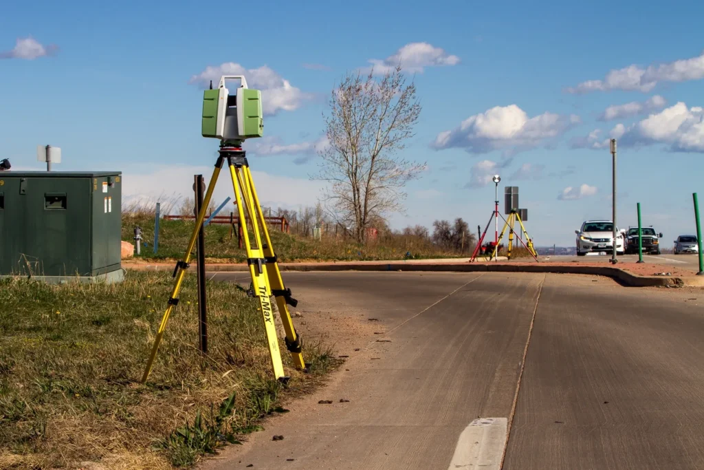
An ALTA/NSPS Land Title Survey can mitigate potential post-acquisition surprises by providing a comprehensive view of the property. From working with the title insurance companies to identifying potential concerns, the ALTA survey plays an important role in the due diligence stage for a real estate transaction or for future land development.
What is an ALTA survey?
An ALTA survey is considered the “Gold Standard” for surveys. It is the only type of survey with national standards recognized by title companies and lending institutions.
An ALTA survey is a boundary survey that also depicts existing easements listed in a title commitment in addition to the existing improvements that include; building footprint, curb and gutter for parking lots or driving lanes, adjacent roadways, physical points of vehicular access, walking trails, and above ground utilities.
Another unique aspect of the ALTA survey is the option to select up to 20 pre-defined additional survey services, known as “Table A” items. These options can include underground utility markings, building square footages, building heights, surface topography (contours) to national mapping standards, depicting wetland designations, flood zone information and parcel zoning information. This survey is specifically designed to assist in the development of commercial property.

Galloway & Company ALTA Surveys
What Information Does a Standard ALTA Survey Provide?
When is an ALTA Survey Typically Necessary?
No team members available.